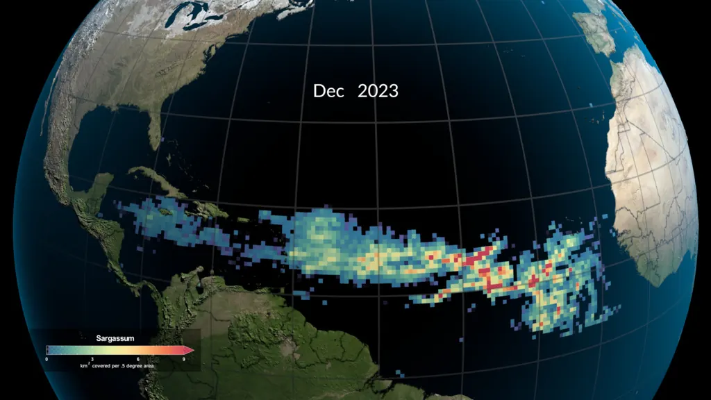
Offshore blooms are difficult to translate into local impact
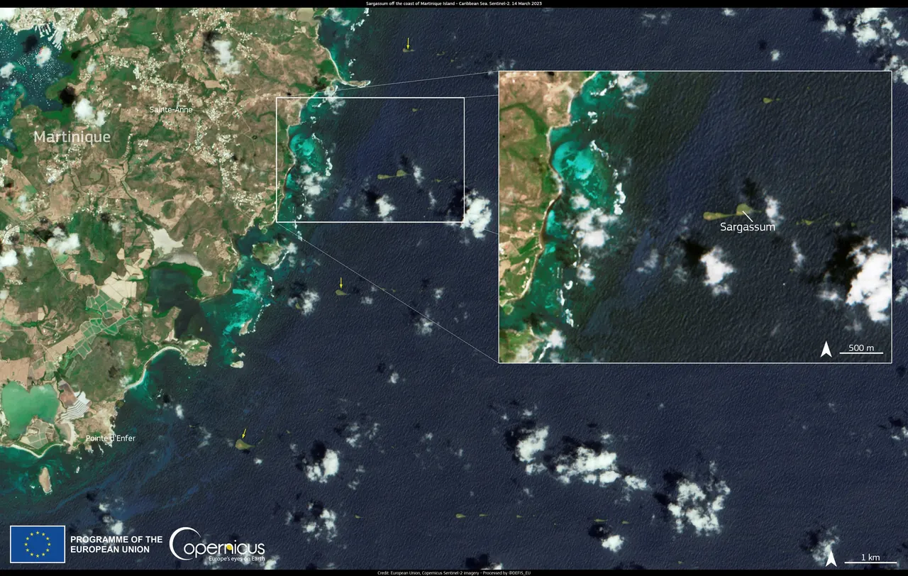
Satellite imagery can show material offshore, but raw imagery is not a decision. Turning it into local coastal risk is the missing step.
Built in St. Kitts & Nevis Sargasso Research ↗
Historical St. Kitts & Nevis tests show improved 48-hour sargassum drift maps. Separate drifter experiments develop crossing-probability methods toward coastal-risk forecasts.
Problem
Satellite imagery can show material offshore, but raw imagery is not a decision. Turning it into local coastal risk is the missing step.
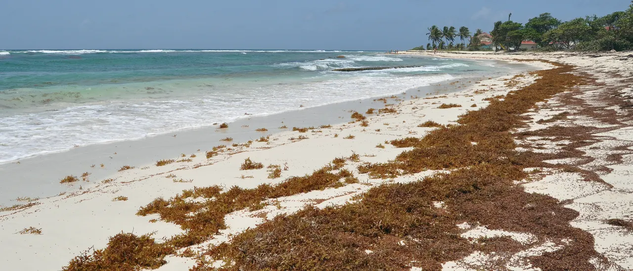
Crews and coastal managers usually mobilise once the seaweed is already on the sand, the most expensive moment to respond.
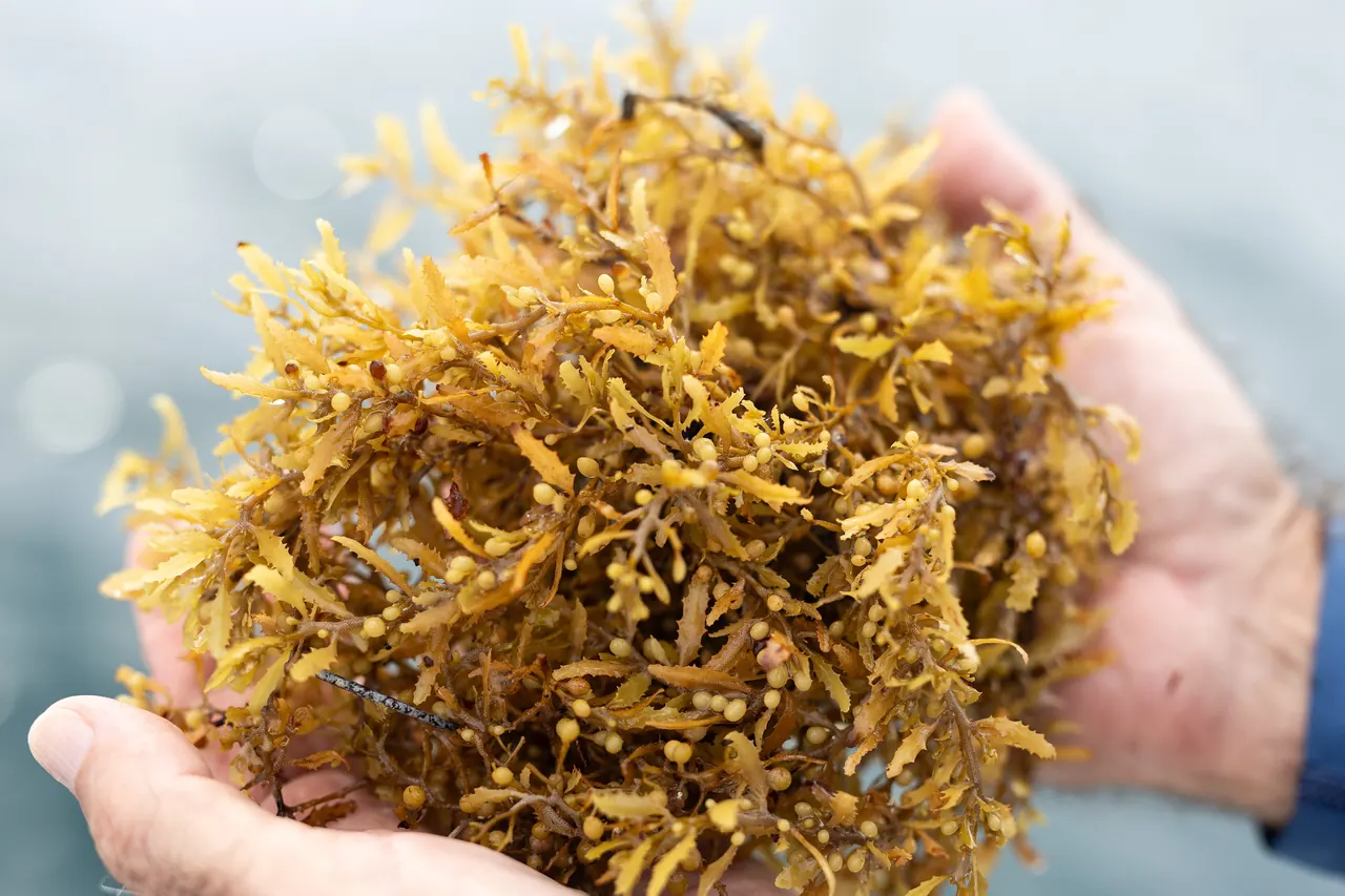
Collection raises the next question: disposal or use. Planning either one needs a reliable idea of where and when material will show up.
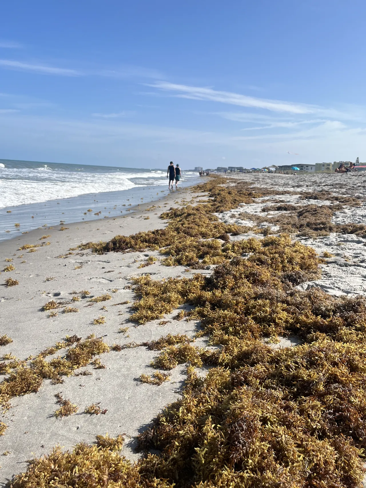
Satellite visibility degrades close to shore and clouds leave gaps in the record, so near-shore arrivals are difficult to observe consistently.
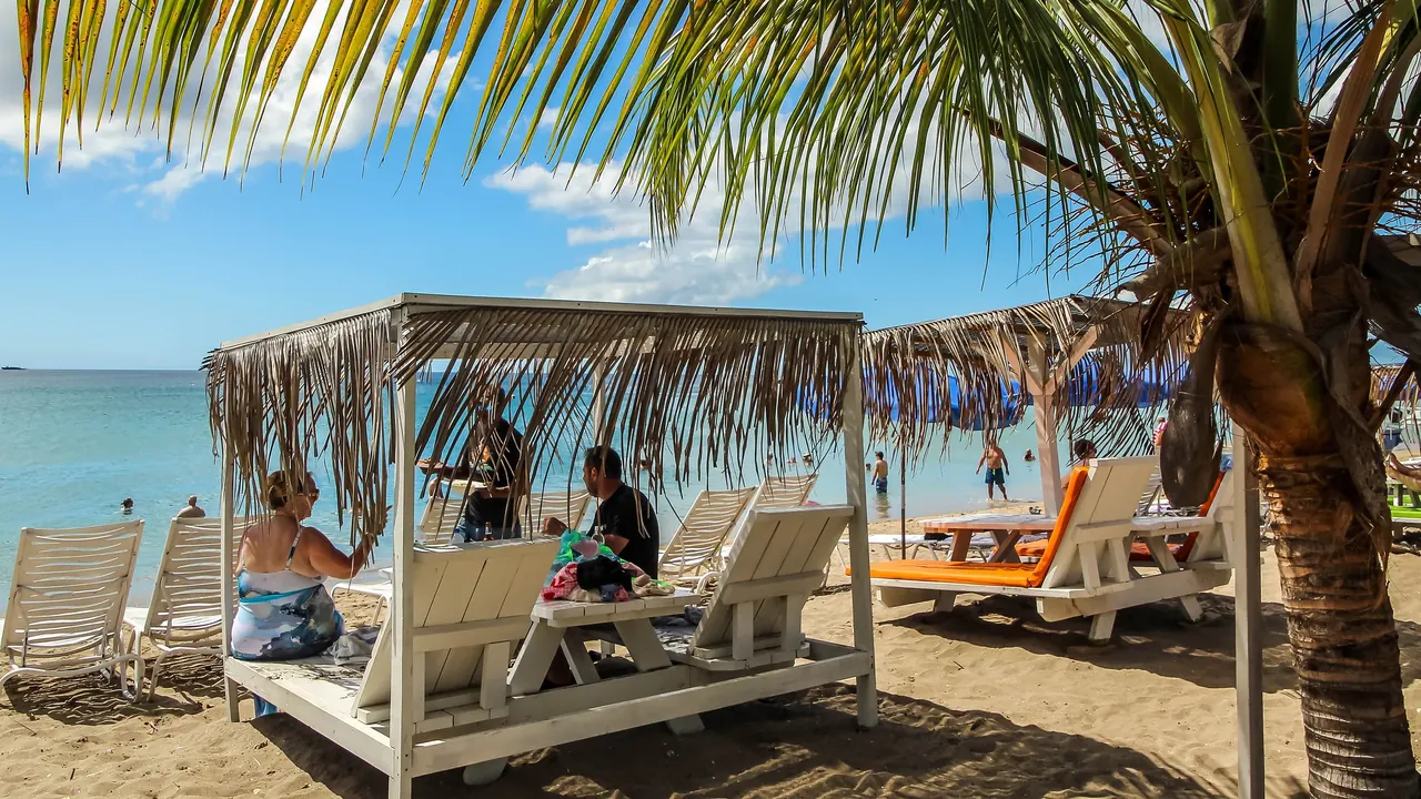
Resorts, tour operators and fishers need days of notice to prepare. Without warning, a heavy landing becomes cancellations and lost working days.
What if we could see it offshore, understand where it is moving, and give St. Kitts & Nevis time to prepare?
That is what Sargasso is building.
What early warning changes

Starting with St. Kitts & Nevis.
How it works
01 Observe
Pass · T+00 h
Coastal outlook, next 48 h
Forecast vs. new observation
Observed Forecast
190 of 228 historical 48 h cases beat a no-movement baseline
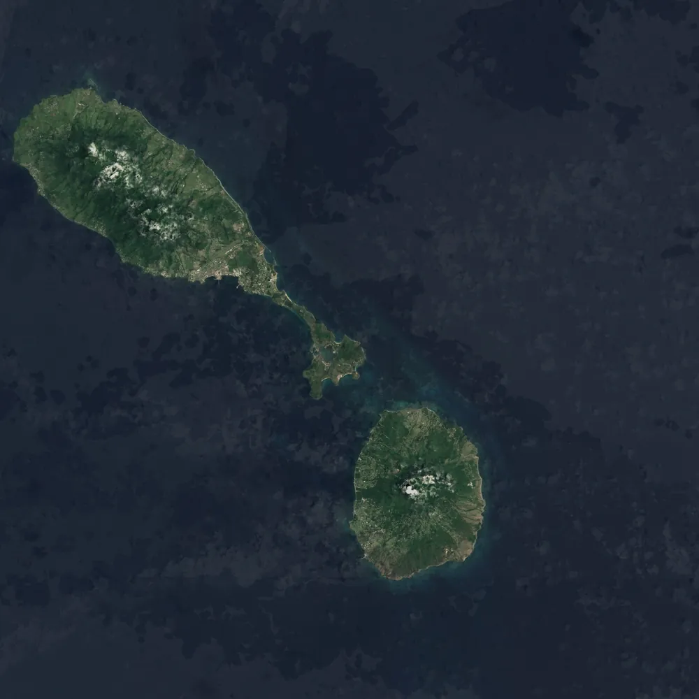
Illustrative scenario on real geography
01
Satellite-derived observations identify offshore sargassum around St. Kitts & Nevis.
02
Machine-learning models separate likely sargassum from surrounding ocean observations.
03
Ocean and atmospheric conditions are used to estimate how detected material may move over the following days.
04
Model output becomes a coastal outlook that is understandable to researchers, coastal managers and decision-makers.
05
Retrospective research compares model output with historical observations. Future forecasts will need validation against new observations and further local evidence; Sargasso does not issue public live forecasts.
Forecasts are probabilistic, and near-shore conditions are harder to observe. Sargasso reports likelihood and uncertainty rather than certain beach landfalls. The scene above is an illustrative scenario drawn on a Sentinel-2 view of the islands, not a live forecast.
Technology & research
Sargasso combines satellite remote sensing, computer vision and ocean data into a forecasting pipeline built for St. Kitts & Nevis.
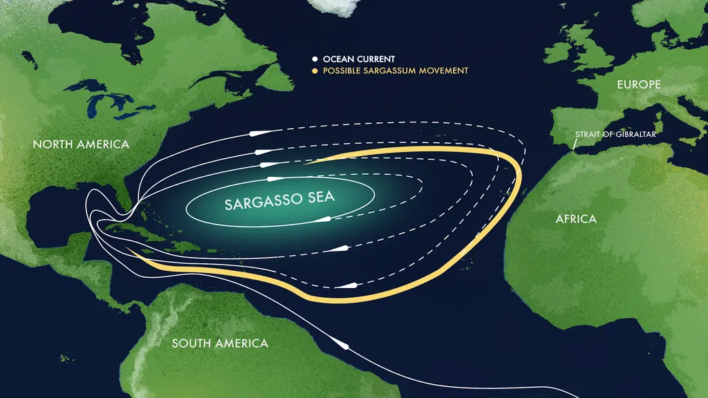
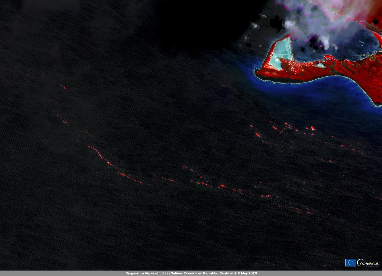
In a historical 48-hour St. Kitts & Nevis test, frozen Sargassum forecast maps improved mean overlap by 18.9% over a persistence baseline across 228 cases. This is a retrospective map benchmark, not beach-level or live-service validation. See the result and recent drifter probability research.
View the research on GitHub ↗Why it matters
2011
First basin-scale sargassum year
8,850 km
Belt extent at its 2018 peak
20 Mt
Estimated biomass in the 2018 belt
Daily
Satellite observations over the region
Sources: NASA Earth Observatory; Wang et al., Science, 2019.
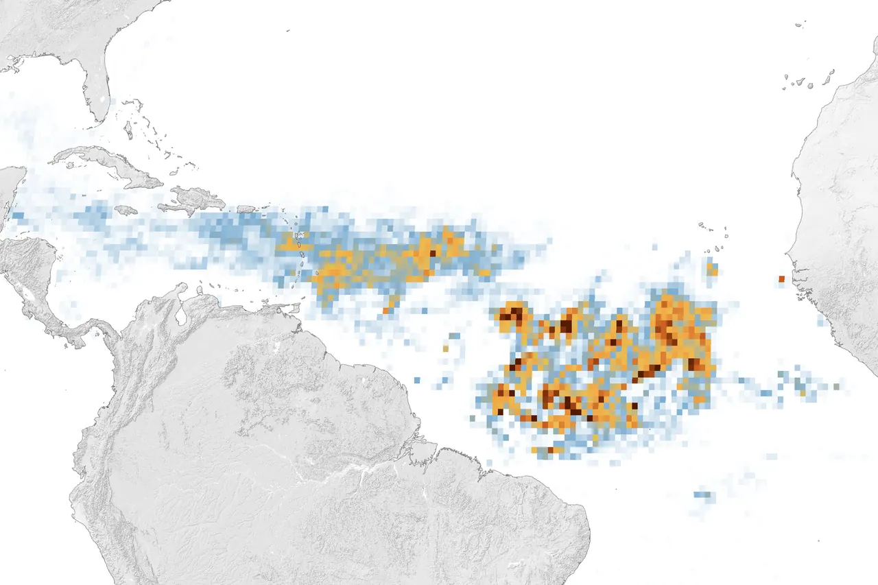
In 2018 a single belt held more than 20 million tonnes of sargassum and stretched 8,850 km across the Atlantic.
The record
Satellites have watched the Atlantic belt since 2011. This animation runs through July of every year from 2010 to 2023.
Published estimates vary across years and months. Basin-scale satellite monitoring describes the wider Atlantic belt, not local beach conditions. Sources: Wang et al., Science, 2019; University of South Florida satellite monitoring.
Basin-scale sargassum amounts vary by month and year. Regional satellite monitoring describes offshore conditions, not beach status.
Research & partnerships
Sargasso is interested in working with organisations involved in coastal management, environmental monitoring, tourism, research, ports and marine operations, and sargassum collection or utilisation.
Let's compare notesWe do not list partners until a collaboration is confirmed.
About
Sargasso began in St. Kitts & Nevis with a simple question: if satellites can already see sargassum offshore, can we turn that information into something our islands can actually use before it reaches the coast?
Founded and built by Josiah Davis, Sargasso combines machine learning, remote sensing and ocean data to develop local sargassum forecasting infrastructure.
Let's talkJosiah Davis
Founder, Sargasso
St. Kitts & Nevis
FAQ
Sargasso is a local research project on sargassum, in development. It combines satellite-derived observations, machine learning and ocean data to study offshore sargassum, track its movement and estimate where it may approach St. Kitts & Nevis. It does not currently issue a public live forecast.
Because this is home. A focused regional study gives the project a place to connect satellite observations, drift estimates and coastal questions before considering other islands.
Open satellite observations, ocean and atmospheric conditions, and environmental forecast data. The exact sources and processing steps are documented in the research repository.
A historical Sargassum-specific test evaluates 48-hour drift. Separate historical tests of undrogued drifters examine crossing probabilities at 48 and 120 hours; those horizons are not Sargassum forecast validation. These are research results, not forecasts issued to the public; Sargasso does not issue a public live forecast. Cloud cover, sea state and distance from shore affect what a future forecast could say.
Model 1 detects sargassum in satellite imagery, Model 2 estimates drift, and Model 3 is being developed to translate movement into coastal risk. Historical drift results and crossing-probability tests show progress toward that goal, but they do not establish reliable arrival at a particular beach and time. The current research archive lacks independent beach-positive observations paired with forecasts frozen in advance; that is the next evidence needed to assess beach-level skill.
The strongest Sargassum-specific historical benchmark covers 228 nominal 48-hour cases around St. Kitts & Nevis. Frozen forecast maps scored 0.5152 mean IoU versus 0.4334 for persistence, a paired relative improvement of 18.9%, with 190 wins, 3 ties and 35 losses. This owner-supplied aggregate has not been independently reproduced and does not measure beach-level or live-service skill. Recent probability and drift results use separate non-Sargassum drifter datasets.
The frozen historical test shows improved 48-hour map overlap over a persistence baseline on 228 Sargassum cases around St. Kitts & Nevis. Separate drifter experiments inform probability methods. Neither result establishes beach-level arrival skill; independent dated beach observations paired with forecasts frozen in advance are the next validation step.
Wherever we can, yes. Development notes, experiments and model work are published through the Sargasso Research repository on GitHub.
That is the long-term direction, and it is deliberately separate from the current focus. The pipeline is designed to extend to other islands once it works properly here.
Follow the research
The research page brings together the Sargassum-specific 48-hour benchmark, recent calibrated crossing-probability work, and drifter experiments that inform the method. The local guide explains floating sargassum and coastal arrivals.
Research and recent progress Sargassum in St. Kitts & Nevis
Open the research archive ↗